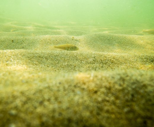
Six new data layers display the outputs of geostatistical models that estimate the probability of five geologic and one biogenic substrate types being present at a 250-meter resolution.
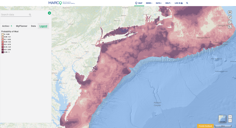
Above: A map depicting the probability of mud along seafloor areas.
Users can find the map layers below in the Portal’s Habitat theme by clicking on the “Seabeds and Sediments” dropdown and then “Surficial Substrates (Stokesbury et al. 2024).”
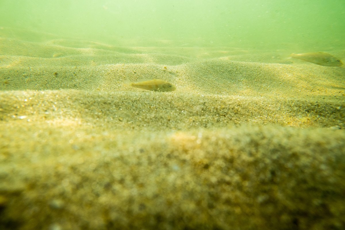
The models leveraged two large datasets: the University of Massachusetts – School for Marine Science and Technology (SMAST) drop camera survey (242,949 samples, 2003 to 2019) and the U.S. Geological Survey databases (27,784 samples, 1966 to 2011), which were combined to derive seafloor surficial substrate probability maps for the Northeastern continental shelf from Virginia Beach to the Gulf of Maine to 300 meter depth (218,571 square kilometers). The modeling methods and results are presented in “Anticipating the winds of change: A baseline assessment of Northeastern US continental shelf surficial substrates,” published in the journal Fisheries Oceanography in 2024 by Kevin D.E. Stokesbury, N. David Bethoney, Felipe Restrepo, and Bradley P. Harris (https://doi.org/10.1111/fog.12693).
Southeast New England Regional Sediment Types
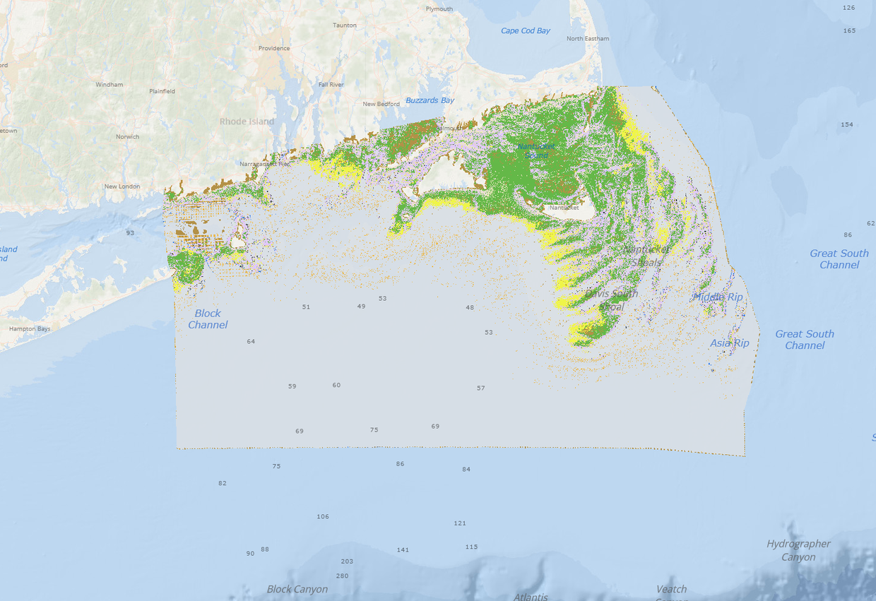
Portal users can also find a new Southeast New England Regional Sediment Types map layer in the “Seabeds and Sediments” collection. This dataset was recently published in the journal Geosciences (Capizzano et al. 2024; DOI: 10.3390/geosciences14070186) and displays the predicted occurrence of benthic sediment types off southern New England at very high resolution.
Input data sources include regional bathymetric data from acoustic surveys and seafloor sediment data from in-situ sampling (i.e., photos, grabs, cores) from USGS, NOAA, University of Massachusetts – School of Marine Science and Technology (SMAST), and several offshore wind companies. This data product was created through the collaborative efforts of INSPIRE Environmental and the Northeast Regional Ocean Council (NROC) for the NROC Data Portal, with funding from the Massachusetts Clean Energy Center, Rhode Island Department of Environmental Management, and Bureau of Ocean Energy Management, to supplement existing regional benthic habitat datasets. Southern New England was selected as a study area due to the amount of publicly available data. The methodology used to create this dataset can be expanded as higher resolution bathymetric data become publicly available.