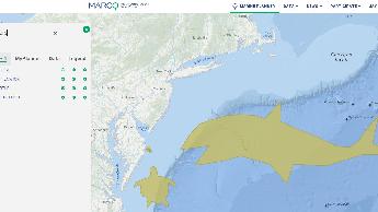
Groups are an opportunity to share information and resources with like-minded ocean users. Create or join a map group that interests you — and invite your colleagues! Maps and drawings can be saved and shared through your group with other registered Portal users.
*Note: MARCO reserves the right to review and remove Groups and content shared within them due to inactivity, inappropriate content or other misuse.
Member Groups
STEM SESSION 3
SISCL STEM SESSION 3
Fall 2022 Marine Applications of GIS
Class group Lab 2
Fall 2020 Marine Applications of GIS
Group for use in class by students at Monmouth University.
ONMS Eastern Region
ONMS Eastern Region Collaborations
Spring 2024 Marine Applications of GIS
Class group
2019 Exploring Local Waters: Hudson Canyon
A space for participants in the Wildlife Conservation Society's August course "Exploring Local Waters: Hudson Canyon" to collaborate on a project and share resources.
BY 442
This is a marine spatial planning exercise for BY442 Natural Resources and Conservation
Critters!
This group is for people to practice using the Portal's cool Draw Feature by creating and sharing their own drawings of sea creatures!
Best drawings are eligible for fabulous prizes in 3 categories: Whimsical, Realistic and Artistic.
Please use the draw feature's "Name" and "Description" boxes to tell us something about your drawing and (optionally) your name or pseudonym!

2206 NY BIGHT
PEIS Development Avanti w/ ICF
STEM SESSION 5 - SISCL
Stem Session 5
How Tuesday June 2024
Resources for sharing for our webinar
OSW PAM Coordination
Attempting to share map drawings
Monmouth University BY 442
The Spring of 2020 database portal project

Central Atlantic Planning Area
DE DNREC - Data layers to consider while reviewing BOEMs Central Atlantic planning area
STEM SESSION 4
SISCL STEM SESSION 4
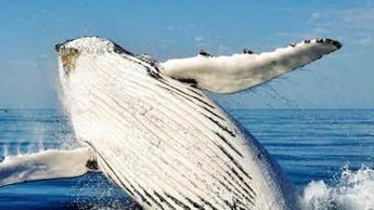
NJ Whale Concerns 2023
Investigation the potential link(s) to the sudden, still unexplained deaths of Marine Mammals Off NJ
NJ portal training 8/18/21
DEP BPU training session
Fall 2021 Marine Applications of GIS
Fall 2021 Marine Applications of GIS
MSP project
This is just a test for a school project
Virginia Ocean Planning
This map group is for partners and stakeholders working to develop an ocean plan for Virginia.
DNREC - Central Atlantic Call Area
Map for DNREC to coordinate review of Central Atlantic Call Area
2021 Exploring Local Waters: Hudson Canyon
A space for participants in the August 2021 WCS professional development course to share maps and resources.
Virginia Practice Group
Activities for February demo.
AIS Data Demonstration - 12/11/2018
Quick links to facilitate discussion
Virginia Central Atlantic Planning Map
Virginia Central Atlantic Planning Map