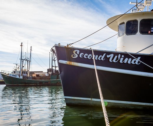
Nine new commercial fishing vessel activity data products are now available. These are the result of a multiyear collaboration among the Northeast Regional Ocean Council (NROC), the Mid-Atlantic Regional Council on the Ocean (MARCO), and the Responsible Offshore Development Alliance (RODA) to obtain feedback from the commercial fishing industry on potential improvements and updates to map and data products on the Northeast and Mid-Atlantic ocean data portals.
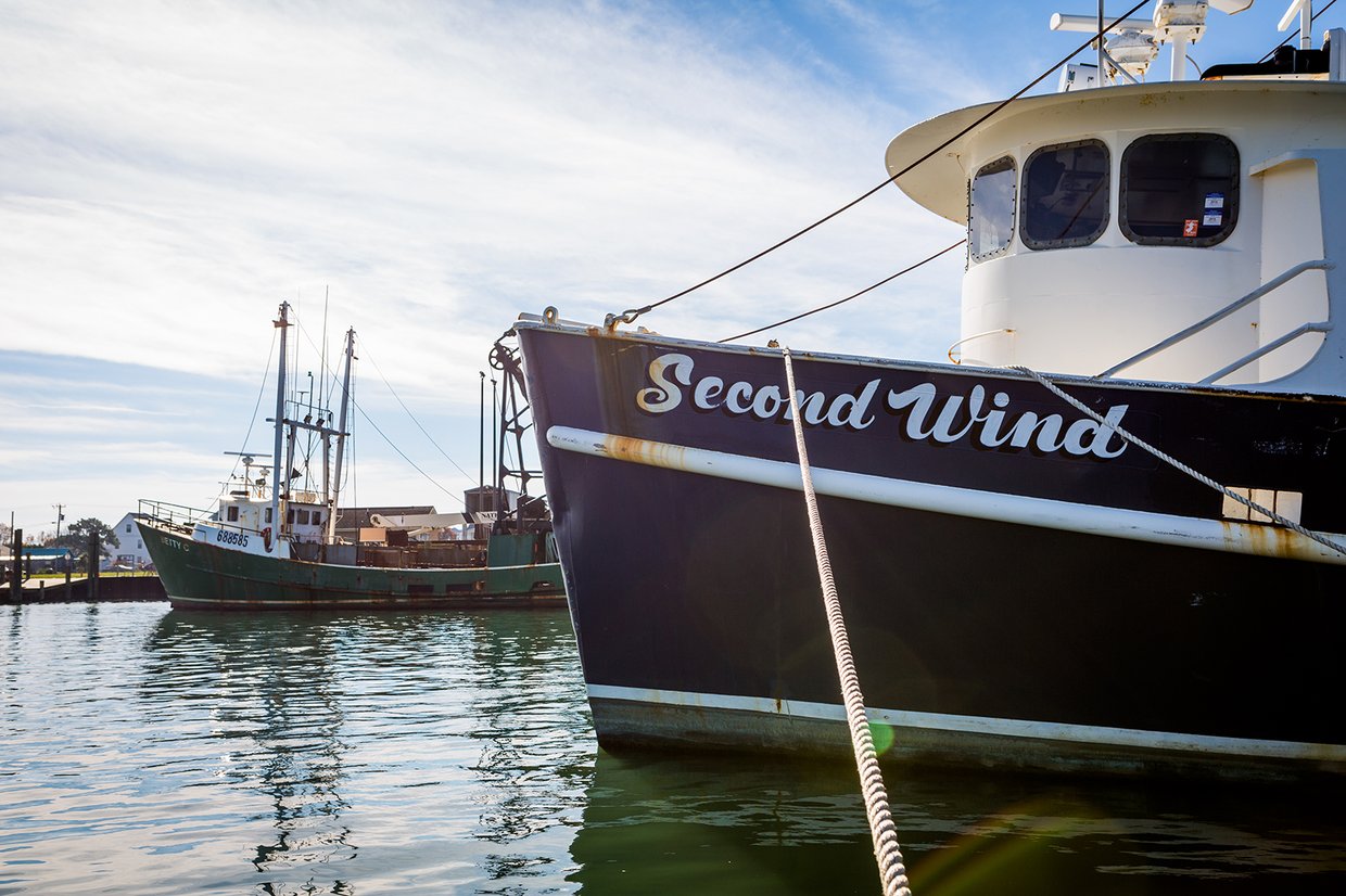
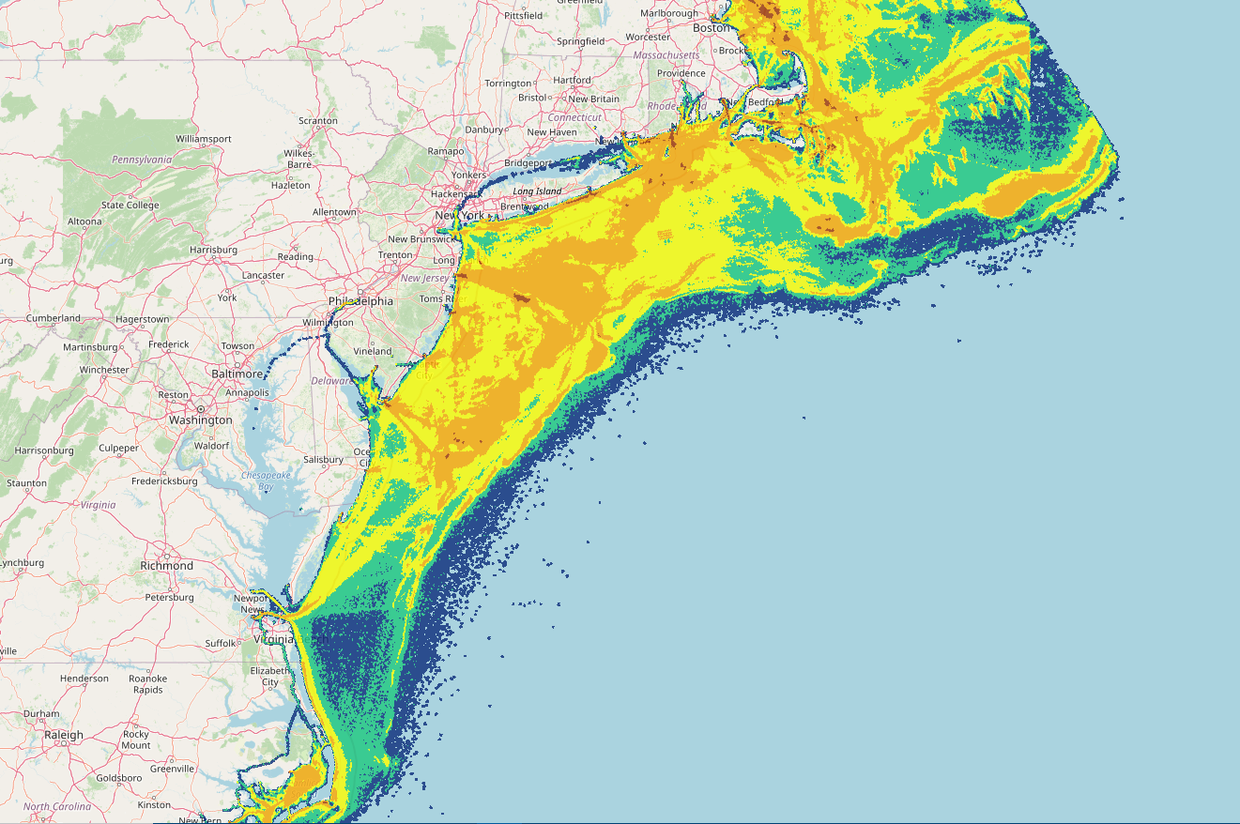
The new data products broadly characterize the density of commercial fishing vessel activity for the Multispecies, Monkfish, Herring, Scallop, Surfclam, Ocean Quahog, and Squid/Mackerel/Butterfish fisheries, as well as for vessels not declaring into one of these fisheries and all vessels overall, from 2015 through 2019 for all vessels in the northeastern U.S. that are required by NOAA Fisheries to carry a Vessel Monitoring System (VMS).
The National Marine Fisheries Service (NMFS) describes VMS as a satellite surveillance system primarily used to monitor the location and movement of commercial fishing vessels in the U.S. The data provided by NMFS were filtered to remove vessel positions which did not meet the “Rule of Three” criteria required by NMFS due to data confidentiality. More information on the Rule of Three, how it was implemented in developing these data products, and the percentage of data removed from each data product to retain confidentiality is available within the metadata.
Products were developed for either the calendar year or by fishing season, depending on the fishery according to industry feedback. The nine new products include:
The new data products can be accessed in the Portal’s Fishing theme by clicking on the “Commercial Fishing – VMS” dropdown. The collection also includes previously released VMS map layers depicting fishing activity from 2006-16.
These data products do not distinguish between areas of fishing activity versus transit, and an absence of data does not indicate an absence of fishing activity. As a result, ports show up as high-density regions, despite little to no fishing activity at those locations. Interpreters of the data should carefully consider the processes and caveats described in the metadata.
The goals of the NROC-MARCO-RODA project included increased collaboration with the fishing industry on the development of products that represent their interests and improved fishing industry trust in regional data products and the data that are being used to inform decisions. A project final report Updating Commercial Fisheries Data on The Northeast and Mid-Atlantic Ocean Data Portal summarizes the data that are housed on the Portals, the process for engaging the commercial fishing industry, and the feedback from the industry on potential improvements and updates. Additional updates based on the recommendations in the report and from ongoing engagement with partners and industry members will continue to be scoped and advanced.
More on the Portal’s Fishing Data

A new feature in the Mid-Atlantic Ocean Data Portal’s “Ocean Stories” section serves as a guide to these and roughly 1,000 additional map layers depicting commercial fishing in the region. With the aid of Ocean Stories’ signature scrolling data maps, the piece explains the differences between the various types of fishing data available on the Portal and how industry members helped make the Portal’s maps more accurate, timely and informative for ocean management deliberations.