(Updated May 21 to include seasonal data information.)
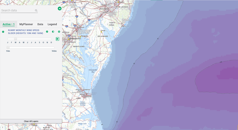
Two new data slider features on the Portal show average monthly and seasonal wind speeds throughout the Mid-Atlantic region at near-surface and the approximate hub height of offshore wind turbines.
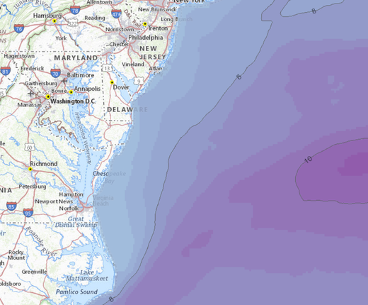
Above: A monthly view of wind speeds at 10 meter height. Users can toggle between months with the top slider bar and height options with the bottom one.
The RUWRF Monthly Wind Speed Slider (Heights: 10M and 160M) and RUWRF Seasonal Wind Speed Slider (Heights: 10M and 160M) data can be found in the Portal’s Oceanography theme. Once the sliders are activated, users can automatically animate or manually toggle through monthly or seasonal maps at either a 10-meter (33 foot) view or 160-meter (525 foot) view. The 10-meter height was chosen for its utility to mariners, while the 160-meter height can assist planning and analysis work for offshore wind projects with 15 megawatt-range wind turbines.
The Rutgers University Center for Ocean Observing Leadership (RUCOOL) developed the wind speed data using its Rutgers University Weather Research Forecast (RU-WRF) atmospheric model. The 3-kilometer resolution dataset was created from RU-WRF model runs between December 2018 and March 2023. The work was funded by the New Jersey Board of Public Utilities (NJBPU).
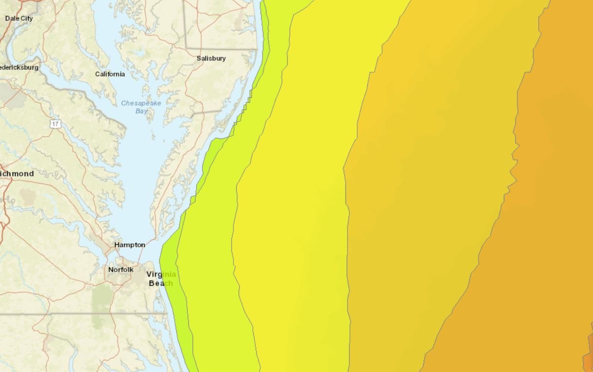
The coverage of the maps extends beyond the continental shelf, from the southern half of the Gulf of Maine to Cape Lookout in North Carolina. Lighter blues depict slower wind speeds while purples indicate more intense winds that are more common when viewing colder months and hub height maps.
Additional Wind Data on the Portal
The Portal’s Oceanography theme also contains two wind map products produced by the National Renewable Energy Laboratory (NREL) that span the full Atlantic Coast. The NREL Monthly Offshore Wind Speed Slider (Height: 100M) is based on 2007-13 data and models typical wind speeds at 100-meter heights. The NREL Annual Offshore Wind Speed (Height: 100M) map layer is based on the same data and is intended to present a broad estimate of wind speeds throughout the full year.