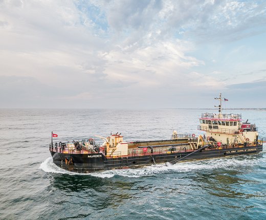
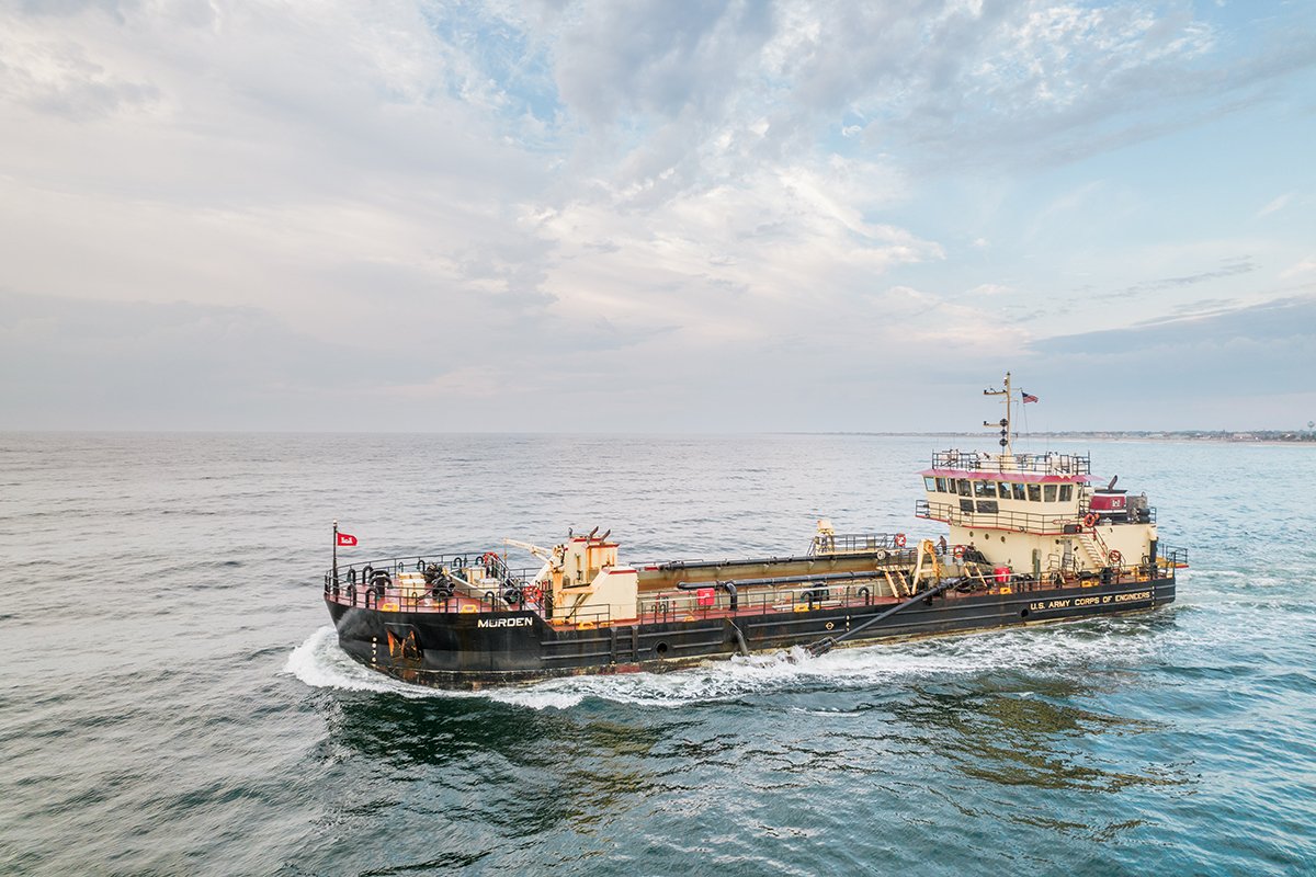
A pair of map layers added to the Portal show areas used by the Army Corps of Engineers (USACE) for the deposit and extraction of sand and sediments for dredging and beneficial reuse projects. The USACE National Sediment Management Framework Borrow Areas and USACE National Sediment Management Framework Placement Areas map layers can be found on the Portal by clicking the “Sand” dropdown in the Maritime theme.
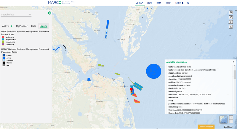
The Borrow Areas layer shows areas in coastal waters that are considered active or proposed for use, as well as places that were recently closed or historically used. Portal users can click any site for a popup containing the name of the area and details about its status.
The Placement Areas layer also delineates areas that are considered active, closed, or historic, and users can click on the map for information about the sites. The map replaces and upgrades upon a previous placement areas layer in the Maritime theme that has been retired by the USACE.
More on the Portal
The Portal’s Sand collection includes five additional maps characterizing sand and sediments as potential resources for human/industrial use (e.g. borrow areas, beach nourishment projects). Four of them are provided through the Bureau of Ocean Energy Management’s (BOEM) Marine Minerals Information System: BOEM Marine Minerals Lease Areas, BOEM Atlantic OCS Aliquots with Sand Resources, BOEM Modeled Shoals in Federal Waters, and BOEM Sand Resources. A Beach Nourishment Projects map presents the locations and details for over 2,000 projects dating back to 1920.
Users may also see the Habitat theme for several additional data layers pertaining to the Mid-Atlantic’s seafloor.