From Proposal to Power: The Steps of Offshore Wind Development
(Updated February 2025. For the latest offshore wind data, view the Renewable Energy theme in Marine Planner.)
The importance of reducing greenhouse gas emissions, achieving energy independence, and relieving congested energy transmission routes has elevated renewable energy on U.S. public policy agendas and in the public consciousness.
The importance of reducing greenhouse gas emissions, achieving energy independence, and relieving congested energy transmission routes has elevated renewable energy on U.S. public policy agendas and in the public consciousness. The Mid-Atlantic has a gently sloping continental shelf and strong offshore winds, making offshore wind energy a focus of policy, research, and investment for the region. The Mid-Atlantic states are increasingly looking to offshore wind as an energy source that can help them meet their renewable portfolio standards and goals.
While offshore wind is a target industry for energy production in the region, it is imperative that offshore wind development proceed with full consideration of any potential effects on marine life as well as other ocean resources and uses. The process of how an offshore wind farm goes from concept to reality involves years of study and public engagement, as well as rigorous oversight by federal and state authorities.
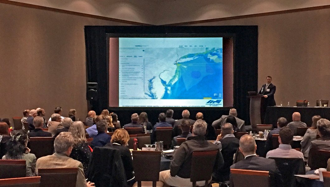
MARCO’s Mid-Atlantic Ocean Data Portal houses and displays thousands of data layers that can help coastal managers and decision makers build understanding of the potential interactions between offshore wind development and other ocean uses and resources. Current federal Bureau of Ocean Energy Management (BOEM) offshore wind development leases, installed and proposed infrastructure locations, and individual project envelopes are among the maps that can be overlaid with habitat, fisheries, and other ocean use data layers.
Offshore wind maps in the Portal’s Renewable Energy theme are arranged in four collections corresponding with the stages they’re in, from least to furthest along. They are 1) Planning and Lease Areas, 2) Offshore Energy Projects Under Review, 3) Permitted Projects and 4) Operational Offshore Energy Projects.
In this edition of Ocean Stories, we provide a concise primer on those categories, the state of offshore wind development in the Mid-Atlantic, and how map data on the Portal and other tools can help assist with analysis and inform all interested stakeholders. Readers seeking more detailed information on offshore wind projects and the development process can visit the BOEM website.
Planning and Lease Areas
The first step in the offshore wind planning process is typically the issuance of a “call for information and nominations.” Here, BOEM will delineate a very broad offshore area on a map and ask industry members, the public, government agencies, and any other interested parties to share information regarding what portions of this “call area” may be suitable or unsuitable for development. Based on what the agency hears, the area will likely be whittled down considerably.
After careful consideration of the responses, BOEM will release draft wind energy areas, or WEAs, for further public comment. The WEAs are portions of the call area that were determined to have good potential for generating electricity while posing fewer conflicts to other ocean users, marine life, and habitats than the areas that were eliminated from consideration.
Once this latest round of input is considered, BOEM will decide whether to place all, some, or none of the draft WEAs up for auction. The leases for any final WEAs are sold in an electronic bidding process which all members of the public can monitor.
The map above provides a good illustration of the whittling process. The cherry red, hollow boxes represent the first Central Atlantic Call Area issued in July of 2022. The solid blue and gold areas represent the draft WEAs that emerged in November of 2022. Ultimately, only the orange zone off the Delaware coast and the reddish-brown zone off of Virginia advanced to lease sales in 2024. (The pink area off Maryland can still be seen in in the BOEM Wind Planning Areas map, which includes additional areas that would require further study before moving forward.)
Offshore Energy Projects Under Review
Once a company wins a lease, which gives it the exclusive rights to develop an area, it can begin the work of studying its features and crafting proposals for what will be built there. The company will start by amassing all of the information it can about that area through a range of methods, including reviews of scientific reports and data, boat surveys of the seafloor, and conversations with the local industries that rely on the area and know it best.
Following a few years of research and engagement, the lessee will produce a Construction and Operations Plan (COP) that lays out the number and locations of turbines, the volume of power that will be generated, and how it will be safely transmitted to the grid on shore. BOEM will then conduct a thorough investigation of the proposal and release its findings in a Draft Environmental Impact Statement report.
A public comment period will open once it’s published, allowing experts and stakeholders an opportunity to review its conclusions and offer any supplemental information, objections, or clarifying perspectives they feel should be considered. BOEM will conclude by releasing a Final Environmental Impact Statement (EIS) and a decision of whether or not to approve the COP.
To enable users to analyze specific projects, the Portal’s Offshore Energy Projects Under Review collection also houses maps of the individual lease areas where COPs have been deemed complete and a notice of intent to draft an EIS. Users who click the dropdown will also find the latest publicly available information on the locations of five types of proposed infrastructure for projects: turbines, power export cable locations and corridors, interarray cables (those that run from turbine to turbine), and substations.
Permitted Projects
Once a developer receives a record of decision after the final EIS, it can advance to construction. One by one, the array of turbines will be built and connected to one another by a network of cables and substations at sea. Steps will be taken to alert mariners in the vicinity about vessel activity and to monitor for the presence of sensitive marine life.
Export (transmission) cables will slowly be laid in routes that avoid potential trouble spots like military training zones, anchorage grounds, and areas that see heavy fishing activity with bottom-tending gear that can snag on the line. The cables will be buried and covered at depths where they will minimize hazard exposure. (See our miniseries of Ocean Stories on siting cables for more information.)
Users can click on the Portal’s “Permitted Projects” dropdown for maps showing the individual footprints of projects that have been cleared for construction by BOEM.
Operational Projects
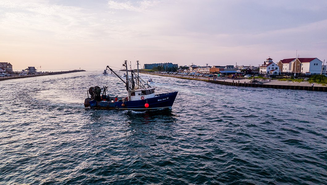
There are still only a small number of wind farms actively generating power in U.S. coastal waters. The first active turbines in federal waters were built in the Mid-Atlantic – the Coastal Virginia Offshore Wind (CVOW) Pilot Turbine Area, which includes a duo of turbines that powered on in 2020. (A broader CVOW commercial wind farm is now being constructed adjacent to the pilot area.) The next to follow was the South Fork Wind Farm, located roughly 35 miles off the eastern tip of Long Island (seen above).
Portal users can view these active wind areas and the locations of their turbines, cables and other associated infrastructure by clicking on the Operational Offshore Energy Projects dropdown.
Ecological and Economic Considerations

Offshore wind energy is a growing industry in the Mid-Atlantic, and it is important that impacts to the ocean’s ecological and economic resources are carefully considered during the planning and management of new and existing projects.
MARINE LIFE
The Mid-Atlantic coast provides habitats for a number of migratory and non-migratory birds, marine mammals, sea turtles, corals, and more, including some that are considered threatened or endangered. The Portal houses 4,000 data layers depicting the abundance and species richness for many marine life groups and individual species.
These data layers can be activated in combination with those showing offshore wind areas, to help users analyze their compatibility. The map above shows the abundance of marine birds with high collision sensitivity and BOEM's Active Renewable Energy Lease Areas.
The Regional Wildlife Science Collaborative for Offshore Wind, co-hosted by MARCO and NROC) supports regional collaboration and coordination on wildlife research and monitoring and offshore wind. Among the wealth of information it hosts online is a Research Planning Map displaying the locations where wildlife and environment data are being collected to support offshore wind research.
FISHERIES
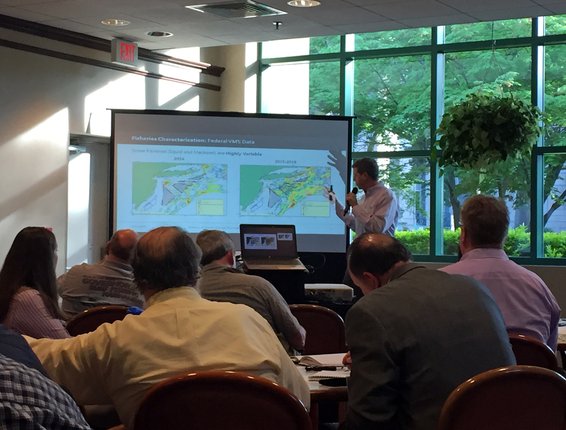
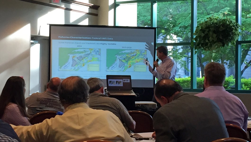
The Portal can be used to identify potential interactions between the fisheries industry with offshore wind lease areas. The site contains over 1,000 interactive maps showing commercial fishing activities, with layers based on federal vessel trip reports (VTR), vessel monitoring system (VMS) data, and maps of areas that are currently managed for fisheries activity.
The map above shows VTR data for sea scallop landings (total pounds caught) from 2016-2020 along with the BOEM lease areas. The landings map is one of several commercial “Fishing Footprints” layers that were added to the Portal in 2024 in partnership with NOAA Fisheries.
Below are some fisheries-specific informational resources for the Mid-Atlantic region.
● The Responsible Offshore Development Alliance (RODA) is a coalition of fisheries industry members that was created to foster collaboration with regulatory agencies in order to minimize impacts to fisheries during offshore development activities.
● The Responsible Offshore Science Alliance (ROSA) was initiated by RODA and is specifically focused on advancing research and monitoring efforts associated with fisheries and offshore wind interactions.
● The Mid-Atlantic Fishery Management Council (MAFMC) offshore wind resource page.
● BOEM Report: Mitigation Measures to Address Potential Use Conflicts between Commercial Wind Energy Lessees/Grantees and Commercial Fishermen on the Atlantic Outer Continental Shelf (PDF, 2 MB)
Regulatory Framework/Policy Considerations
All of the proposed offshore wind leases In the Mid-Atlantic are located on the Outer Continental Shelf (OCS), which encompasses all federal submerged land, subsoil, and seabed from 3 to 200 nautical miles offshore. The Energy Policy Act of 2005 placed oversight responsibility on BOEM for all renewable energy projects within the OCS. Thus, BOEM is responsible for issuing leases, easements and rights of way for offshore wind projects.
Many states conduct Federal Consistency reviews to ensure that federal actions are consistent with state coastal management policies. States participating in the federal consistency provision of the Coastal Zone Management Act may have the authority to review offshore wind development activities to ensure federal actions are consistent with that state’s coastal management policies.
Federal consistency is the principal tool that allows states to influence OCS activities, as many may not directly require a state permit or approval for implementation (with the exception of associated facilities in or on state waters or lands). Included within the consistency review is a mandatory public comment period, in which states are required to provide for public participation.
BOEM Stakeholder Engagement
States are provided an opportunity to communicate with BOEM about offshore wind projects through the Intergovernmental Task Force, which was created by BOEM in each state that has expressed interest in offshore wind development. Some states also offer state-led stakeholder meetings in addition to the BOEM Intergovernmental Task Force meetings. Visit the BOEM pages below for information about engagement and public comment opportunities for projects in your state.
● New York Bight: Click here for information on activities in this area off the coasts of New York and New Jersey
● Central Atlantic: Click here for information on activities in this offshore area from Delaware to North Carolina
Mid-Atlantic State-Specific Offshore Wind Resources
New York
https://www.nyserda.ny.gov/All-Programs/Programs/Offshore-Wind
New Jersey
http://www.njcleanenergy.com/NJ-Offshore-Wind
Delaware
https://dnrec.delaware.gov/climate-coastal-energy/renewable/
Maryland
https://dnr.maryland.gov/ccs/Pages/coastal_resources/oceanplanning.aspx
https://energy.maryland.gov/Pages/Info/renewable/offshorewind.aspx
Virginia