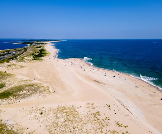
A new Conservation theme has been created in Marine Planner to highlight areas where ocean and coastal conservation measures are proposed or currently in place in the Mid-Atlantic.
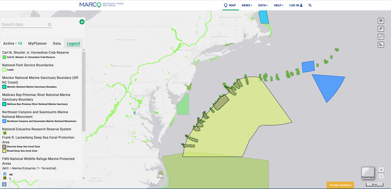
The theme contains 13 map layers, with plans underway to expand its offerings this year. Potential uses of the data include helping users appreciate and understand existing area-based conservation measures, taking stock of ocean conservation progress, and providing a mechanism for identifying gaps. The theme could help facilitate well-informed public input during comment periods that may emerge from the Hudson Canyon National Marine Sanctuary nomination or similar processes in the future.
The Conservation theme contains an assortment of maps that are new to the Portal, were shifted from other themes, or were duplicated from other themes, where they still remain available. A breakdown is below.
New Map Layers
● FWS National Wildlife Refuge Marine Protected Areas (from MarineCadastre.gov)
● National Estuarine Research Reserve System (from MarineCadastre.gov)
● Outer Continental Shelf Withdrawals from Leasing (from MarineCadastre.gov)
● Stellwagen Bank National Marine Sanctuary Boundary (from NOAA Sanctuaries GIS)
Moved from Past Locations
● Mallows Bay-Potomac River National Marine Sanctuary Boundary (from Administrative theme)
● Monitor National Marine Sanctuary Boundary (from Administrative theme)
● National Park Service Boundaries (from Administrative theme)
Duplicated from Other Locations
● Carl N. Shuster Jr. Horseshoe Crab Reserve (from Fishing theme)
● Essential Fish Habitat (from Habitat theme)
● Frank R. Lautenberg Deep-sea Coral Protection Area (from Fishing theme)
● Northeast Canyons and Seamounts Marine National Monument (from Fishing theme)
● North Atlantic Right Whale Seasonal Management Areas (from Maritime theme)
● Proposed North Atlantic Right Whale Seasonal Speed Zones (from Maritime theme)
Users should note that there are many area-based rules in the ocean that provide indirect or direct conservation benefits and thousands of map layers on the Portal (e.g. marine life, seafloor habitat, fishing) that relate to or can inform discussions on the topic. The map layers in the theme only show the boundaries of areas that have been designated or proposed for a range of conservation purposes. Portal users can create overlays of marine wildlife data, etc. with the Conservation theme maps to analyze areas in greater detail.
Suggestions or Questions?
Are there other maps on the Portal or data available externally that you would like to see included in the theme? Have questions about the data or the Portal? Email us at portal@midatlanticocean.org.